
By Jorge Jaramillo, Managing Partner – handytec
Data is constantly being collected and analyzed. In business, we typically analyze that data with charts, graphs, or lists to create actionable insights. However, there is one element missing with traditional data analysis, and that is the “where” element. This is when geoanalytics becomes relevant.
Geoanalytics is the correlation between data and its physical location. This means that more insights on the data can be created, such as dynamic pricing and operational efficiency.
How handytec Delivers Geoanalytics
handytec is an Ecuadorian company specializing in providing customized big data analytics solutions. It works with cutting-edge technologies to help companies adopt and take advantage of the transformational power of data science to achieve their most ambitious, strategic, and challenging objectives.
Over time, handytec has explored how a geoanalytics offering with a dimension of analysis would allow companies to be strategic and localized to understand spatial variables that influence the behavior of entire industries. With all this in mind, handytec created the helio.geo platform in 2018.
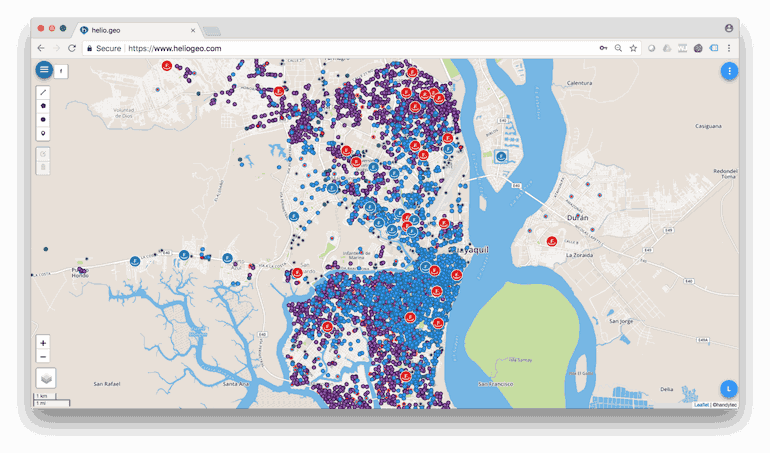
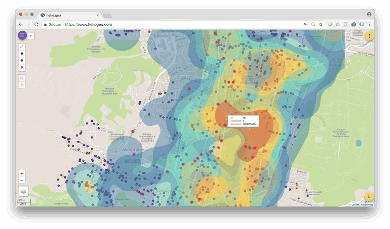
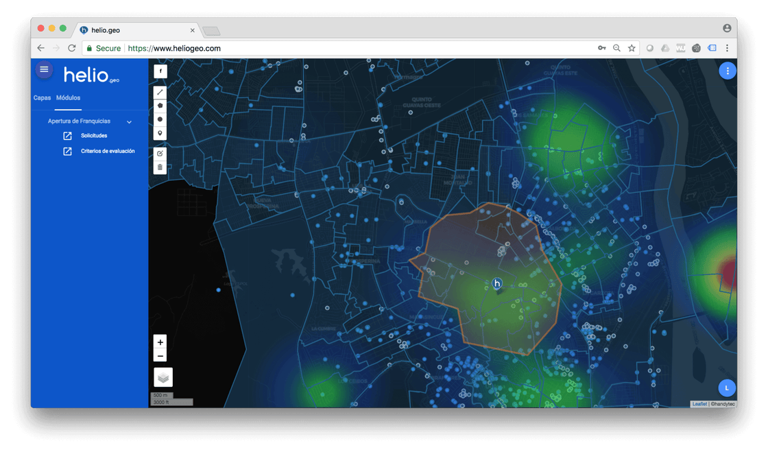
helio.geo is a cloud-based geoanalytics platform, optimized to work extremely fast and enriched with dozens of datasets nationwide. The back-end works with SingleStore, which allows the team to securely store large datasets with geospatial information and query them efficiently with the highest transactional power possible. SingleStore was chosen due to its versatility since helio.geo needs to add new modules based on semi-structured data (JSON) processing and real-time analytics.
Use Cases for handytec
To maximize the benefits of geoanalytics, different predictive and personalized models have been created for three main sectors where it is currently in use.
Retail
helio.geo analyzes different data and individual variables to predict the demand and market share of a particular area. It also gives permanent visibility of the behaviour of the area for different products or customer profiles.
Insurance
helio.geo characterizes different variables of potential risk for each insured property, allowing companies to take preventive actions or even modify the premium of each insurance claim in real time.
Banking
helio.geo uses its capabilities to estimate risk on expansion strategies and microcredit placement. The main objective is to create credit risk models, complementary to the traditional ones, to financially support the base of the lending pyramid.
Getting Started with Geoanalytics
Companies looking to add a location element into their data tracking and get the analysis of the data back quickly, should consider handytec. The user experience has been significantly improved compared to other platforms that limit access to information to ensure good performance. With SingleStore, helio.geo can process hundreds of datasets 10 times faster than our old traditional databases, allowing us to do more with data analytics and visualizations.These benefits would not be possible without SingleStore, as its support for data-intensive applications allows us to deliver the scale and speed our customers need.
To learn more, visit www.handytec.mobi and get started with our geoanalytics application.